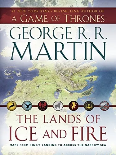
The Lands of Ice and Fire is a cartographic collection containing twelve high-resolution, folding maps of the fictional world from the A Song of Ice and Fire series. Rather than a narrative text, this volume provides a geographical overview of the known world, from the detailed city grids of King’s Landing and Braavos to the expansive territories of the Dothraki sea and the far east of Essos. The maps chart specific mountain ranges, trade routes, and keeps, including the first definitive visual representation of the lands beyond the Summer Sea and the hidden reaches of the Shadow Lands.
This collection serves readers who require a spatial understanding of the complex political movements and military campaigns within the novels. Enthusiasts use these illustrations to track character movements across the Narrow Sea or to visualize the relative distance between the Wall and the southern reaches of Dorne. By examining the detailed topographical data and border placement, the reader gains a concrete perspective on the administrative boundaries and environmental barriers that shape the strategic decisions of the warring Great Houses.
Outward-looking and clear-cut; a moderate read.
Best for readers like The Practical Optimizer. Which reader are you?
- Published
- 2012
- Language
- EN